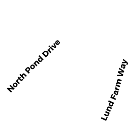
377 LUND FARM WAY
Owner Information
BRAGDON DONALD G & MARY ANNE
377 LUND FARM WAY
BREWSTER, MA 02631


Property Details
377 LUND FARM WAY is classified as a Single Family Residential (Cape).
The primary structure on this property was built in 1982. There are 1,428ft2 of built area within this property. There is 1,428ft2 of residential/living space within this property. This property is listed as having 6 rooms.
377 LUND FARM WAY is valued at $474,800. The land is valued at $194,800 and the structures are valued at $277,500. There is an additional valuation of $2,500 on this property.
This property is in Zone RM. Confirm with local Zoning Board authorities to ensure there are no overlays or other easements on this property.
The most recent deed for 377 LUND FARM WAY is recorded at the local registrar in Book 11060, Page 129. 377 LUND FARM WAY was last sold on Thursday, November 13, 1997 for $1.
Assessment data from fiscal year 2022.
Flood Data
According to the FEMA National Flood Hazard Layer, this property does not appear to be in a flood zone. It may also be in an area not yet reviewed. Nonetheless, confirm this information prior to taking any action.
To view the flood hazards around this property, create a FEMA "Firmette" Map of the area around 377 LUND FARM WAY.
Broadband Internet Providers
| Provider | Type | Bandwidth (mbps) | |
|---|---|---|---|
| Comcast | Cable | 1000 | 35 |
| VSAT Systems, LLC. | Satellite | 2 | 1 |
| HughesNet | Satellite | 25 | 3 |
| GCI Communication Corp. | Satellite | 0 | 0 |
| Verizon New England Inc. | DSL | 10 | 1 |
| Viasat Inc | Satellite | 35 | 3 |
Broadband service provider data from December 2020.
Adjacent Properties
- 391 LUND FARM WAY
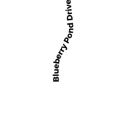
Single Family Residential owned by ASCI MICHAEL E & LISA M - 427 BLUEBERRY POND DRIVE
Single Family Residential owned by HENCHY ROBERT N & HENCHY WM C - 122 NORTH POND DRIVE
Single Family Residential owned by ARICO BARBARA E - 136 NORTH POND DRIVE
Single Family Residential owned by BULL JUSTIN J & TRACY M TRUSTEES - 369 LUND FARM WAY
Single Family Residential owned by TALABI BOLA D & HARBECK AMY L